Juneau ( JOO-noh; Tlingit: Dzánti K'ihéeni [ˈtsʌ́ntʰɪ̀ kʼɪ̀ˈhíːnɪ̀]) is the capital city of the state of Alaska. Located in the Gastineau Channel and the Alaskan panhandle, it is a unified municipality and the second-largest city in the United States of America by area. Juneau was named the capital of Alaska in 1906, when the government of what was then the District of Alaska was moved from Sitka as dictated by the U.S. Congress in 1900. The municipality unified on July 1, 1970, when the city of Juneau merged with the city of Douglas and the surrounding Greater Juneau Borough to form the current municipality, which is larger by area than both Rhode Island and Delaware.
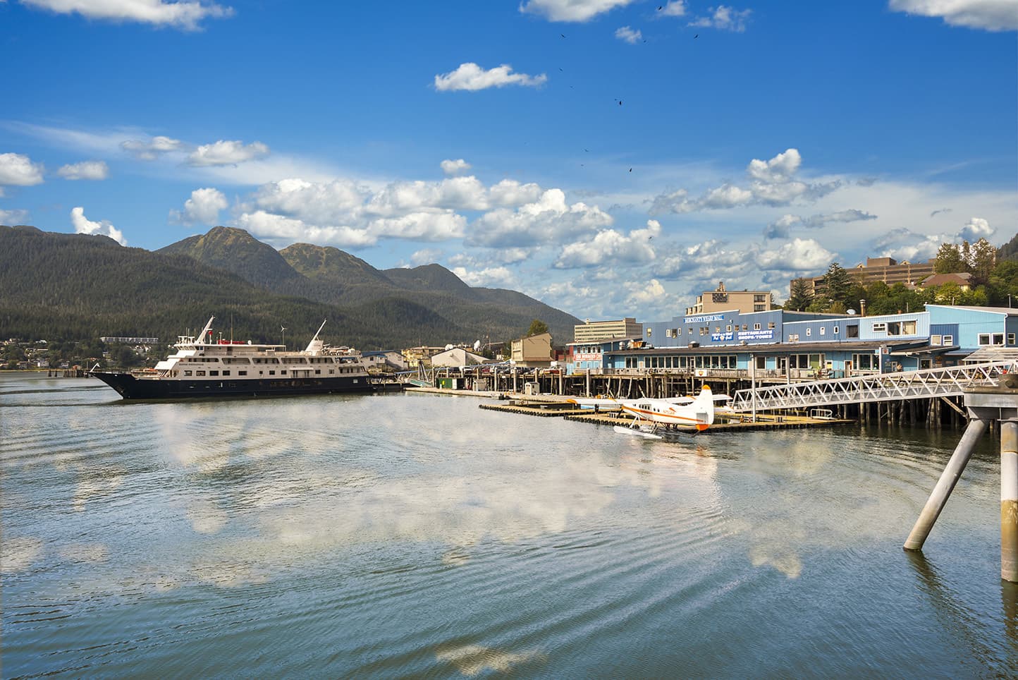
Downtown Juneau (58°18′00″N 134°24′58″W) is nestled at the base of Mount Juneau and across the channel from Douglas Island. As of the 2010 census, the City and Borough had a population of 31,276. In 2019, the population estimate from the United States Census Bureau was 31,974, making it the second-most populous city in Alaska after Anchorage. Juneau experiences a daily influx of roughly 6,000 people from visiting cruise ships between the months of May and September.
The city is named after a gold prospector from Quebec, Joe Juneau, though the place was for a time called Rockwell and then Harrisburg (after Juneau's co-prospector, Richard Harris). The Tlingit name of the town is Dzántik'i Héeni ("Base of the Flounder's River," dzánti 'flounder,' –kʼi 'base,' héen 'river'), and Auke Bay just north of Juneau proper is called Áak'w ("Little lake," áa 'lake,' -kʼ 'diminutive') in Tlingit. The Taku River, just south of Juneau, was named after the cold t'aakh wind, which occasionally blows down from the mountains.
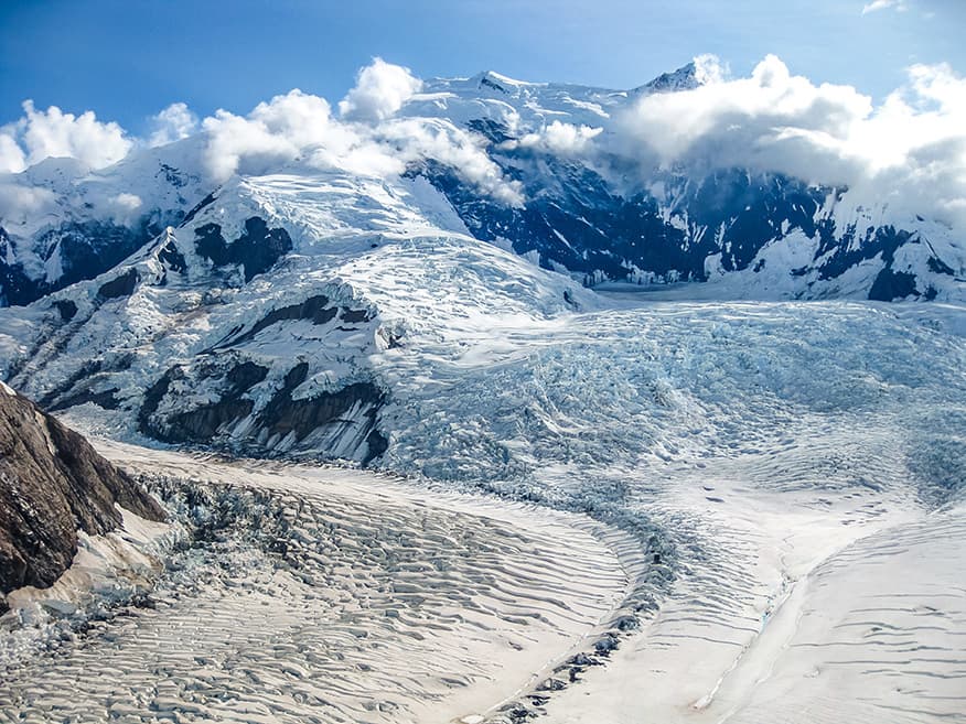
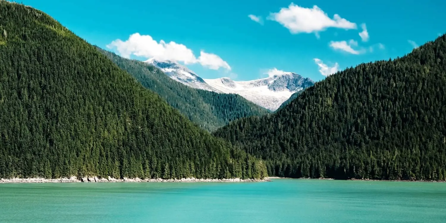
Juneau is unique among the 49 U.S. capitals on mainland North America in that there are no roads connecting the city to the rest of the state nor North America. Honolulu, Hawaii, is the only other state capital not connected by road to the rest of North America. The absence of a road network is due to the extremely rugged terrain surrounding the city. This in turn makes Juneau a de facto island city in terms of transportation, since all goods coming in and out must go by plane or boat, in spite of the city's being on the Alaskan mainland. Downtown Juneau sits at sea level, with tides averaging 16 feet (5 m), below steep mountains about 3,500 to 4,000 feet (1,100 to 1,200 m) high. Atop these mountains is the Juneau Icefield, a large ice mass from which about 30 glaciers flow; two of these, the Mendenhall Glacier and the Lemon Creek Glacier, are visible from the local road system. The Mendenhall glacier has been gradually retreating; its front face is declining in width and height.
The Alaska State Capitol in downtown Juneau was built as the Federal and Territorial Building in 1931. Prior to statehood, it housed federal government offices, the federal courthouse and a post office. It also housed the territorial legislature and many other territorial offices, including that of the governor. Today, Juneau remains the home of the state legislature and the offices of the governor and lieutenant governor. Some other executive branch offices have moved elsewhere in the state.