• Fort Zachary Taylor State Park Beach Key West Florida
LeftLeftGradient

    Key West,

    Florida

    Pgiam / iStock
      IN PARTNERSHIP WITH
      Kayak logo
      Deals in Key West, Florida
      DEALS IN Key West, Florida

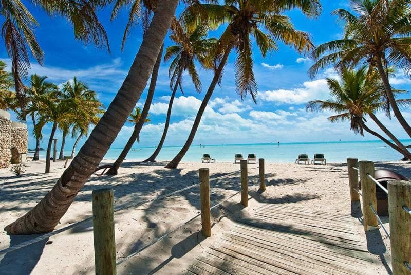
      Key West (Spanish: Cayo Hueso) is an island in the Straits of Florida, within the U.S. state of Florida. Together with all or parts of the separate islands of Dredgers Key, Fleming Key, Sunset Key, and the northern part of Stock Island, it constitutes the City of Key West.

      Need ideas for a trip to Key West? Check out this people and planet-friendly adventure from Intrepid Travel:

      Miami to Florida Keys

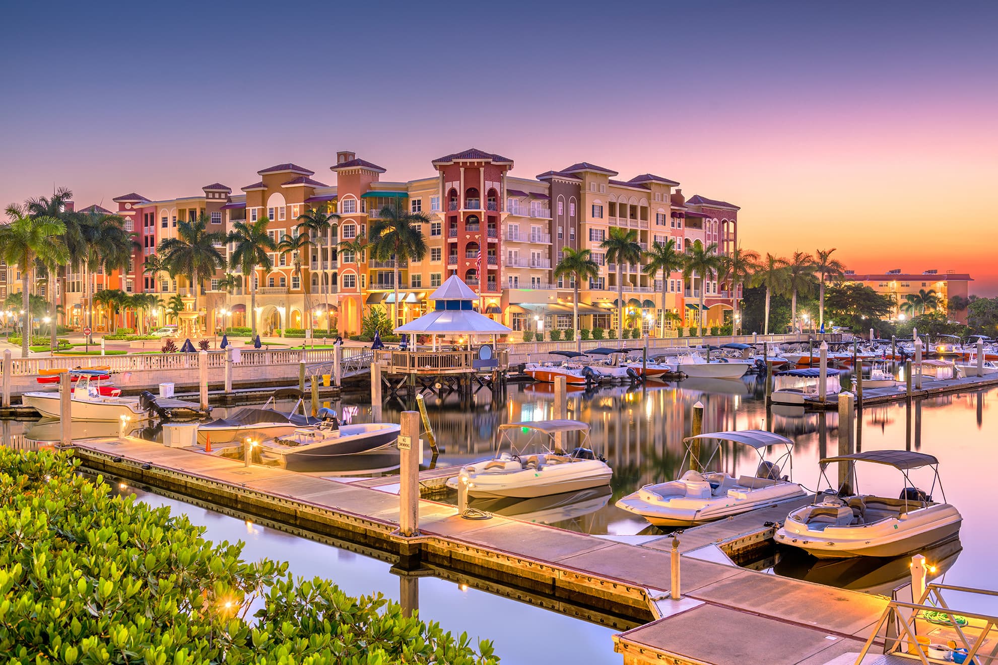
      The Island of Key West is about 4 miles (6 kilometers) long and 1 mile (2 km) wide, with a total land area of 4.2 square miles (11 km2). It lies at the southernmost end of U.S. Route 1, the longest north–south road in the United States. Key West is about 95 miles (153 km) north of Cuba at their closest points. It is also 130 miles (210 km) southwest of Miami by air, about 165 miles (266 km) by road, and 106 miles (171 km) north-northeast of Havana.The City of Key West is the county seat of Monroe County, which includes all of the Florida Keys and part of the Everglades. The total land area of the city is 5.6 square miles (14.5 km2). The official city motto is "One Human Family".

      Key West is the southernmost city in the contiguous United States and the westernmost island connected by highway in the Florida Keys. Duval Street, its main street, is 1.1 miles (1.8 km) in length in its 14-block-long crossing from the Gulf of Mexico to the Straits of Florida and the Atlantic Ocean. Key West is the southern terminus of U.S. Route 1, State Road A1A, the East Coast Greenway and, before 1935, the Florida East Coast Railway. Key West is a port of call for many passenger cruise ships. The Key West International Airport provides airline service. Naval Air Station Key West is an important year-round training site for naval aviation due to the tropical weather, which is also the reason Key West was chosen as the site of President Harry S. Truman's Winter White House. The central business district is located along Duval Street and includes much of the northwestern corner of the island.

      logoFind more things to do, itinerary ideas, updated news and events, and plan your perfect trip to Key West

      Key West Articles

      Places near Key West

      DESTINATION IN Florida

      Everglades

      The Everglades is a natural region of tropical wetlands in the southern portion of the U.S. state of Florida, comprising the southern half of a large drainage basin within the Neotropical realm. The ecosystem it forms is not presently found anywhere else on earth. The system begins near Orlando with the Kissimmee River, which discharges into the vast but shallow Lake Okeechobee. Water leaving the lake in the wet season forms a slow-moving river 60 miles (97 km) wide and over 100 miles (160 km) long, flowing southward across a limestone shelf to Florida Bay at the southern end of the state. The Everglades experience a wide range of weather patterns, from frequent flooding in the wet season to drought in the dry season. Throughout the 20th century, the Everglades suffered significant loss of habitat and environmental degradation. Human habitation in the southern portion of the Florida peninsula dates to 15,000 years ago. Before European colonization, the region was dominated by the native Calusa and Tequesta tribes. With Spanish colonization, both tribes declined gradually during the following two centuries. The Seminole, formed from mostly Creek people who had been warring to the North, assimilated other peoples and created a new culture after being forced from northern Florida into the Everglades during the Seminole Wars of the early 19th century. After adapting to the region, they were able to resist removal by the United States Army. Migrants to the region who wanted to develop plantations first proposed draining the Everglades in 1848, but no work of this type was attempted until 1882. Canals were constructed throughout the first half of the 20th century, and spurred the South Florida economy, prompting land development. In 1947, Congress formed the Central and Southern Florida Flood Control Project, which built 1,400 miles (2,300 km) of canals, levees, and water control devices. The Miami metropolitan area grew substantially at this time and Everglades water was diverted to cities. Portions of the Everglades were transformed into farmland, where the primary crop was sugarcane. Approximately 50 percent of the original Everglades has been developed as agricultural or urban areas.Following this period of rapid development and environmental degradation, the ecosystem began to receive notable attention from conservation groups in the 1970s. Internationally, UNESCO and the Ramsar Convention designated the Everglades a Wetland Area of Global Importance. The construction of a large airport 6 miles (10 km) north of Everglades National Park was blocked when an environmental study found that it would severely damage the South Florida ecosystem. With heightened awareness and appreciation of the region, restoration began in the 1980s with the removal of a canal that had straightened the Kissimmee River. However, development and sustainability concerns have remained pertinent in the region. The deterioration of the Everglades, including poor water quality in Lake Okeechobee, was linked to the diminishing quality of life in South Florida's urban areas. In 2000 the Comprehensive Everglades Restoration Plan was approved by Congress to combat these problems, which at that time was considered the most expensive and comprehensive environmental restoration attempt in history; however, implementation faced political complications.