• Frostburg, Maryland
LeftLeftGradient

    Frostburg,

    Maryland

    WilliamSherman / iStock
      IN PARTNERSHIP WITH
      Kayak logo
      Deals in Frostburg, Maryland
      DEALS IN Frostburg, Maryland
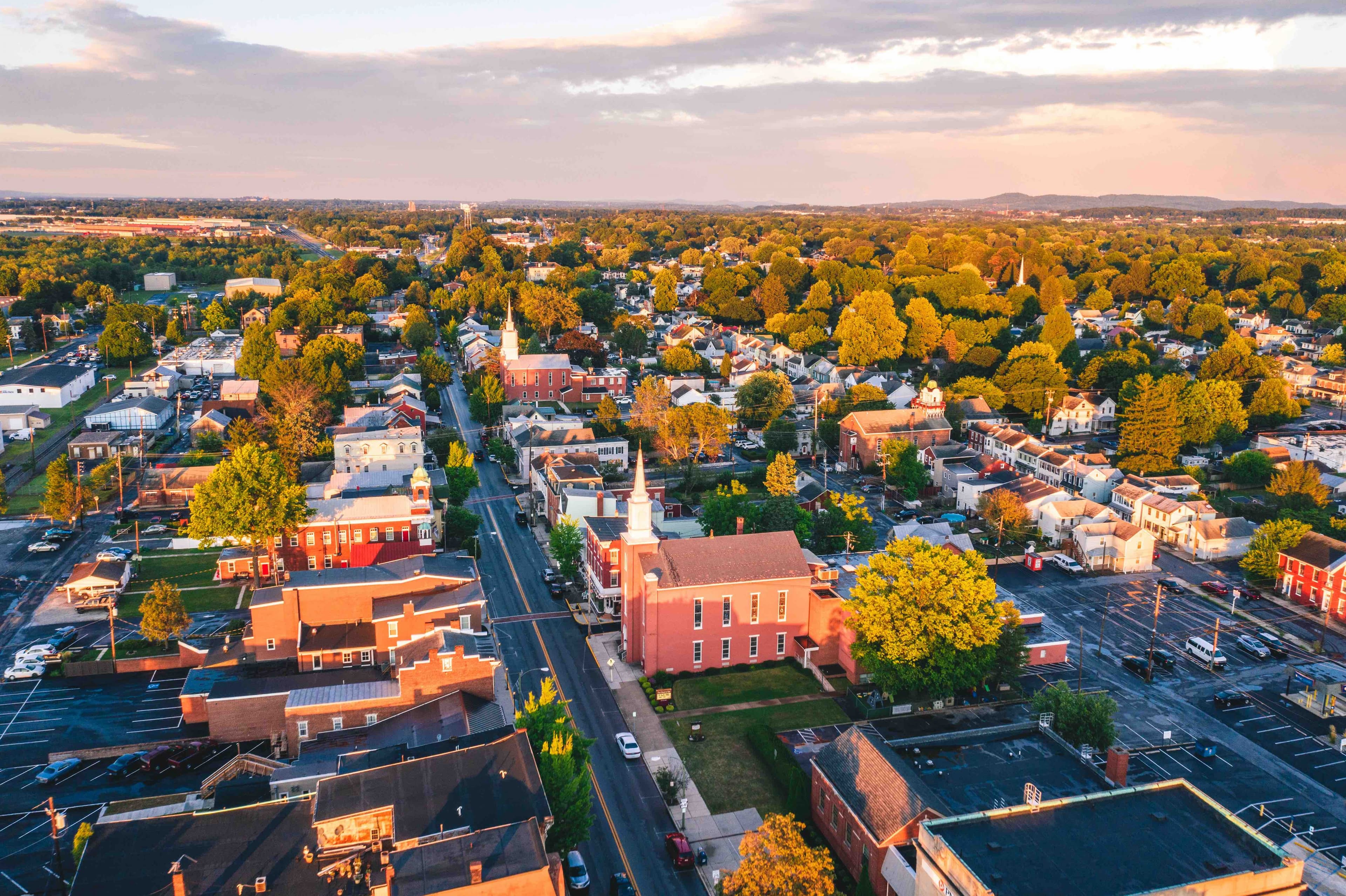
      Frostburg is a city in Allegany County, Maryland, United States, and is at the head of the Georges Creek Valley. It is part of the Cumberland, MD-WV Metropolitan Statistical Area. Located 8 miles (13 km) west of Cumberland, the town is one of the first cities on the "National Road", US 40, and the western terminus of the Western Maryland Scenic Railroad. Frostburg was originally called Mount Pleasant until 1820, when the government developed a postal service, and the town was renamed Frostburg. Since 1973, the city has been served by what is now Interstate 68.The City of Frostburg has an approximate year-round population of 8,075. The total population was 9,002 at the 2010 census. In addition, 5,400 students attend Frostburg State University, a public university within the University System of Maryland.
      logoFind more things to do, itinerary ideas, updated news and events, and plan your perfect trip to Frostburg

      Places near Frostburg

      DESTINATION IN Maryland

      Garrett County

      Garrett County is the westernmost county of the U.S. state of Maryland. As of the 2010 census, the population was 30,097, making it the third-least populous county in Maryland. Its county seat is Oakland. The county was named for John Work Garrett (1820–1884), president of the Baltimore and Ohio Railroad. Created from Allegany County, Maryland in 1873, it was the last Maryland county to be formed. Garrett County has long been part of the media market of Pittsburgh, Pennsylvania. It is considered to be a part of Western Maryland. The Commonwealth of Pennsylvania is to the north. The Maryland–Pennsylvania boundary is commonly known as the Mason–Dixon line. The eastern border with Allegany County was defined by the Bauer Report, submitted to Governor Lloyd Lowndes, Jr. on November 9, 1898. The Potomac River and State of West Virginia lie to the south and west. Garrett County lies in the Allegheny Mountains, which here form the western flank of the Appalachian Mountain Range. Hoye-Crest, a summit along Backbone Mountain, is the highest point in Maryland. The Eastern Continental Divide runs along portions of Backbone Mountain. The western part of the county, drained by the Youghiogheny River, is the only part of Maryland within the Mississippi River drainage basin. All other parts of the county are in the Chesapeake Bay basin. The National Register of Historic Places listings in Garrett County, Maryland has 20 National Register of Historic Places properties and districts, including Casselman Bridge, National Road a National Historic Landmark. Garrett County is part of Maryland's 6th congressional district. The extreme south of the county lies within the United States National Radio Quiet Zone.