St. Cloud is a city in the U.S. state of Minnesota and the largest population center in the state's central region. Its population is 68,462 according to the 2019 US census estimates, making it Minnesota's tenth largest city. St. Cloud is the county seat of Stearns County and was named after the city of Saint-Cloud, France (in Île-de-France, near Paris), which was named after the 6th-century French monk Clodoald.
Though mostly in Stearns County, St. Cloud also extends into Benton and Sherburne counties, and straddles the Mississippi River. It is the center of a small, contiguous urban area totaling over 120,000 residents, with Waite Park, Sauk Rapids, Sartell, St. Joseph, Rockville, and St. Augusta directly bordering the city, and Foley, Rice, Kimball, Clearwater, Clear Lake, and Cold Spring nearby. With 189,093 residents at the 2010 census, the St. Cloud metropolitan area is the fifth-largest in Minnesota, behind Minneapolis–St. Paul, Duluth–Superior, Fargo-Moorhead, and Rochester.
St. Cloud is 65 miles (105 km) northwest of the Twin Cities of Minneapolis–St. Paul along Interstate 94, U.S. Highway 52 (conjoined with I-94), U.S. Highway 10, Minnesota State Highway 15, and Minnesota State Highway 23. The St. Cloud Metropolitan Statistical Area (MSA) is made up of Stearns and Benton Counties.
The city was included in a newly defined Minneapolis–St. Paul–St. Cloud Combined Statistical Area (CSA) in 2000. St. Cloud as a whole has never been part of the 13-county MSA comprising Minneapolis, St. Paul, Bloomington and parts of western Wisconsin, although its Sherburne County portion is considered part of the Twin Cities metropolitan area by Census Bureau definition.
St. Cloud State University, Minnesota's third-largest public university, is located between the downtown area and the Beaver Islands, which form a maze for a two-mile stretch of the Mississippi. The approximately 30 undeveloped islands are a popular destination for kayak and canoe enthusiasts and are part of a state-designated 12-mile stretch of wild and scenic river.St. Cloud owns and operates a hydroelectric dam on the Mississippi that can produce up to ten megawatts of electricity.


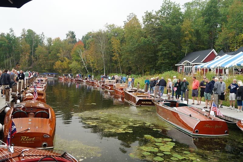
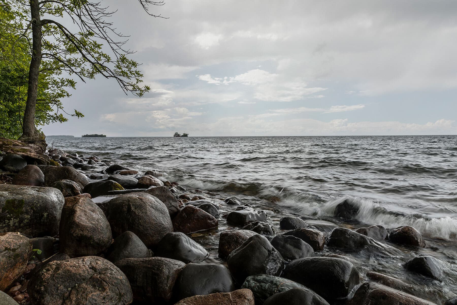
 Find more things to do, itinerary ideas, updated news and events, and plan your perfect trip to Brainerd Lakes