• Mt Washington, New Hampshire
LeftLeftGradient

    Mt Washington,

    New Hampshire

    Billy Freeman / Unsplash
      IN PARTNERSHIP WITH
      Kayak logo
      Deals in Mt Washington, New Hampshire
      DEALS IN Mt Washington, New Hampshire
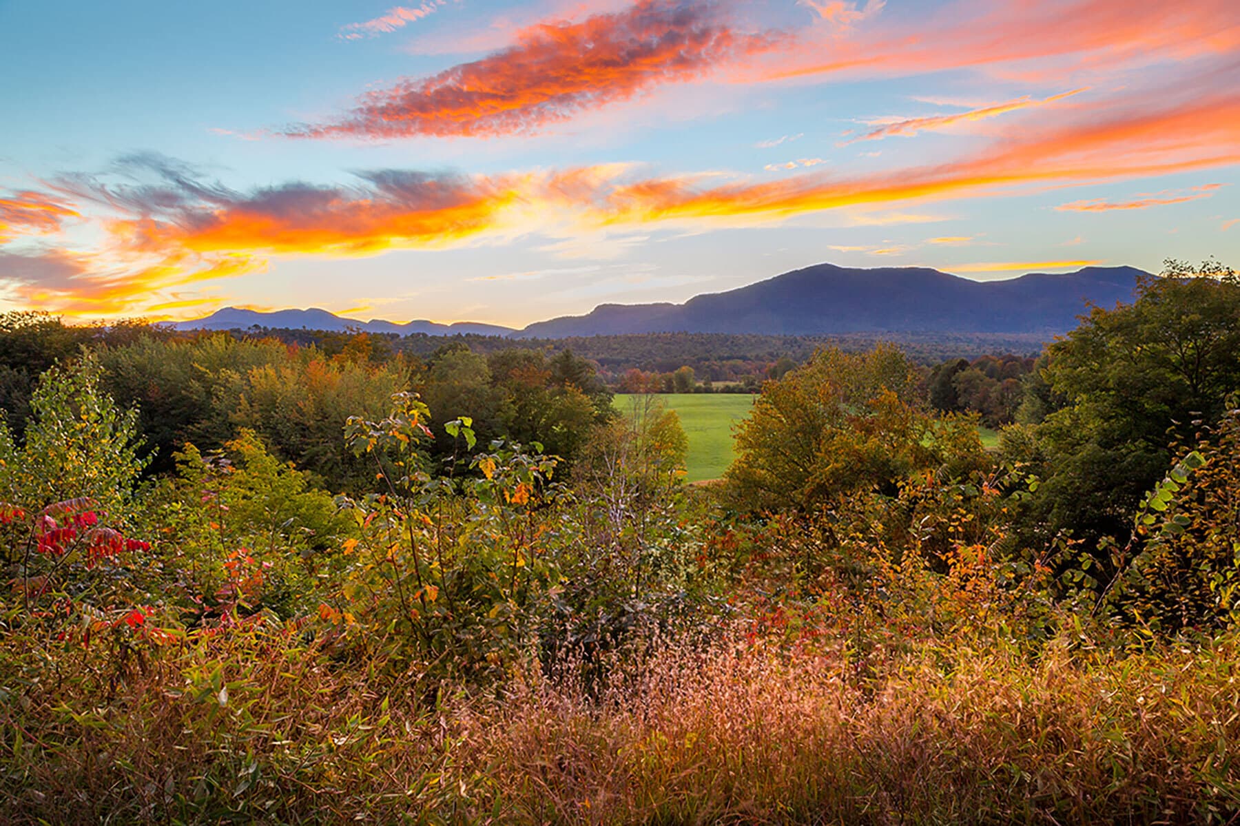
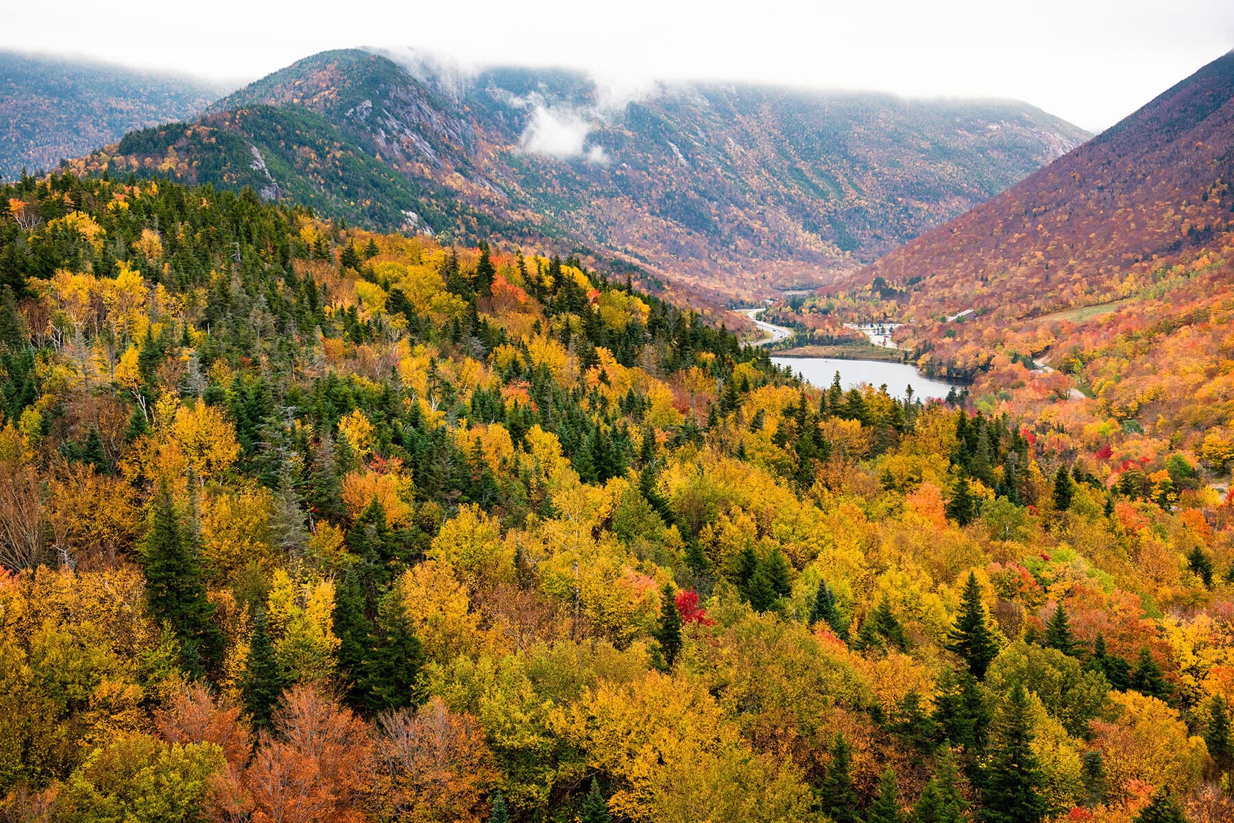
      Mount Washington is the highest peak in the Northeastern United States at 6,288.2 ft (1,916.6 m) and the most topographically prominent mountain east of the Mississippi River. The mountain is notorious for its erratic weather. On the afternoon of April 12, 1934, the Mount Washington Observatory recorded a windspeed of 231 miles per hour (372 km/h) at the summit, the world record from 1934 until 1996. Mount Washington still holds the record for highest measured wind speed not associated with a tornado or tropical cyclone.The mountain is located in the Presidential Range of the White Mountains, in Coös County, New Hampshire. The mountain slopes lie within the boundaries of several unincorporated townships, with the summit itself lying in the township of Sargent's Purchase. While nearly the whole mountain is in the White Mountain National Forest, an area of 60.3 acres (24.4 ha) surrounding and including the summit is occupied by Mount Washington State Park. 
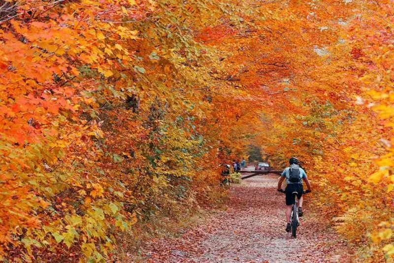
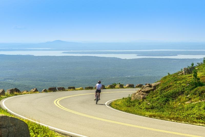
The Mount Washington Cog Railway ascends the western slope of the mountain, and the Mount Washington Auto Road climbs to the summit from the east. The mountain is visited by hikers, and the Appalachian Trail crosses the summit. Other common activities include glider flying, backcountry skiing, and annual cycle and running races such as the Auto Road Bicycle Hillclimb and Road Race.
      logoFind more things to do, itinerary ideas, updated news and events, and plan your perfect trip to Mt Washington

      Mt Washington Articles

      Places near Mt Washington

      DESTINATION IN New Hampshire

      Franconia Notch

      Franconia Notch (elev. 1,950 feet/590 m) is a major mountain pass through the White Mountains of New Hampshire. Dominated by Cannon Mountain to the west and Mount Lafayette to the east, it lies principally within Franconia Notch State Park and is traversed by the Franconia Notch Parkway (Interstate 93 and U.S. Route 3). The parkway required a special act of Congress to sidestep design standards for the Interstate highway system because it is only one lane in each direction.The notch was home to the Old Man of the Mountain, a rock formation which collapsed in 2003 but whose profile remains a symbol of the state of New Hampshire. The notch is located primarily in the town of Franconia but extends south into Lincoln. It is bordered to the east by Franconia Ridge, comprising Mount Lafayette (5,249 feet/1,600 m), Mount Lincoln (5,089 feet/1,551 m), and Little Haystack Mountain (4,780 feet/1,460 m), and to the west by 4,080-foot (1,240 m) Cannon Mountain and the sheer face of Cannon Cliff. The notch's height of land is located near its northern end, at the base of Cannon Mountain. Echo Lake lies just north of the high point of the notch, with an outlet that flows into Lafayette Brook, then the Gale River, the Ammonoosuc River, and finally the Connecticut River, which enters Long Island Sound at Old Saybrook, Connecticut. Just south of the height of land, Profile Lake lies beneath the cliff that once held the Old Man of the Mountain. Profile Lake is the source of the Pemigewasset River, the primary tributary of the Merrimack River, which flows to the Gulf of Maine at Newburyport, Massachusetts.