The Town of Pagosa Springs is the Home rule municipality that is the county seat, the most populous community, and the only incorporated municipality in Archuleta County, Colorado, United States. The population was 1,727 at the 2010 census. Approximately 65 percent of the land in Archuleta County is either San Juan National Forest, Weminuche and South San Juan Wilderness areas, or Southern Ute Indian land.
Pagosa Springs and the surrounding county are both experiencing a substantial influx of second-home owners; a 2006 property assessment indicates that 60% of area private properties are owned by non-residents.
Pagosa Springs is located approximately 35 miles (56 km) north of the New Mexico border, at 7,126 feet (2,172 m) above sea level on the Western Slope of the Continental Divide. This combination of high desert plateau and the Rocky Mountains to the north and east creates an unusually mild climate, especially in the summer months. Pagosa sees around 300 days of sun each year, as well as four distinct seasons.The town is located in the upper San Juan Basin, surrounded by the 3-million-acre (4,700 sq mi; 12,000 km2) San Juan National Forest, and adjacent to the largest wilderness area in the state of Colorado, the Weminuche Wilderness.
The town is named for the sulfur springs located there, including the world's deepest geothermal hot spring. This "Mother Spring" feeds the primitive hot spring soaking pools located on the banks of the San Juan River which flows through town. These hot springs are free and public. The Mother Spring also feeds developed soaking pools hosted by three local hot spring soaking locations within town. The water from the "Mother" Spring is approximately 144 °F (62 °C).
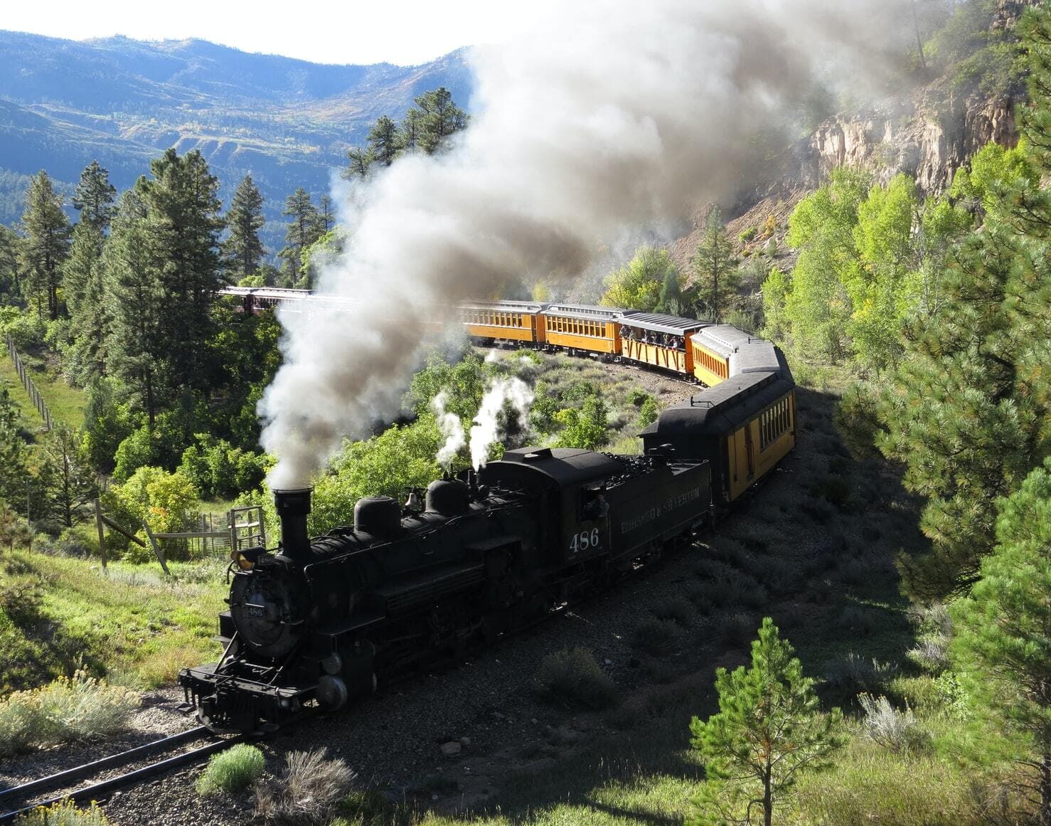
The Ute people called the sulfur-rich mineral springs Pah gosah, which is commonly translated in modern documents as "healing waters"; a Ute elder once translated the phrase as "water (pah) that has a bad smell (gosah)."Other recreational activities in the area include downhill and cross country skiing at nearby Wolf Creek ski area and snowmobiling in the surrounding National Forest. Summertime activities include fishing, hiking, and rafting. The area is also a popular destination for hunters, who harvest elk, deer, and other game animals.
"Downtown Pagosa Springs" was the final destination for a duo of truckers in the 1975 country song "Wolf Creek Pass" by C. W. McCall. From Wolf Creek pass to town, U.S. Highway 160 goes through a vertical drop of 3,730 feet (1,140 m), and is described in the song as "hairpin county and switchback city".