• Autumn Colors and a lake at Canaan Valley, West Virginia
LeftLeftGradient

    Canaan Valley,

    West Virginia

    jollysiendaphotography / iStock
      IN PARTNERSHIP WITH
      Kayak logo
      Deals in Canaan Valley, West Virginia
      DEALS IN Canaan Valley, West Virginia
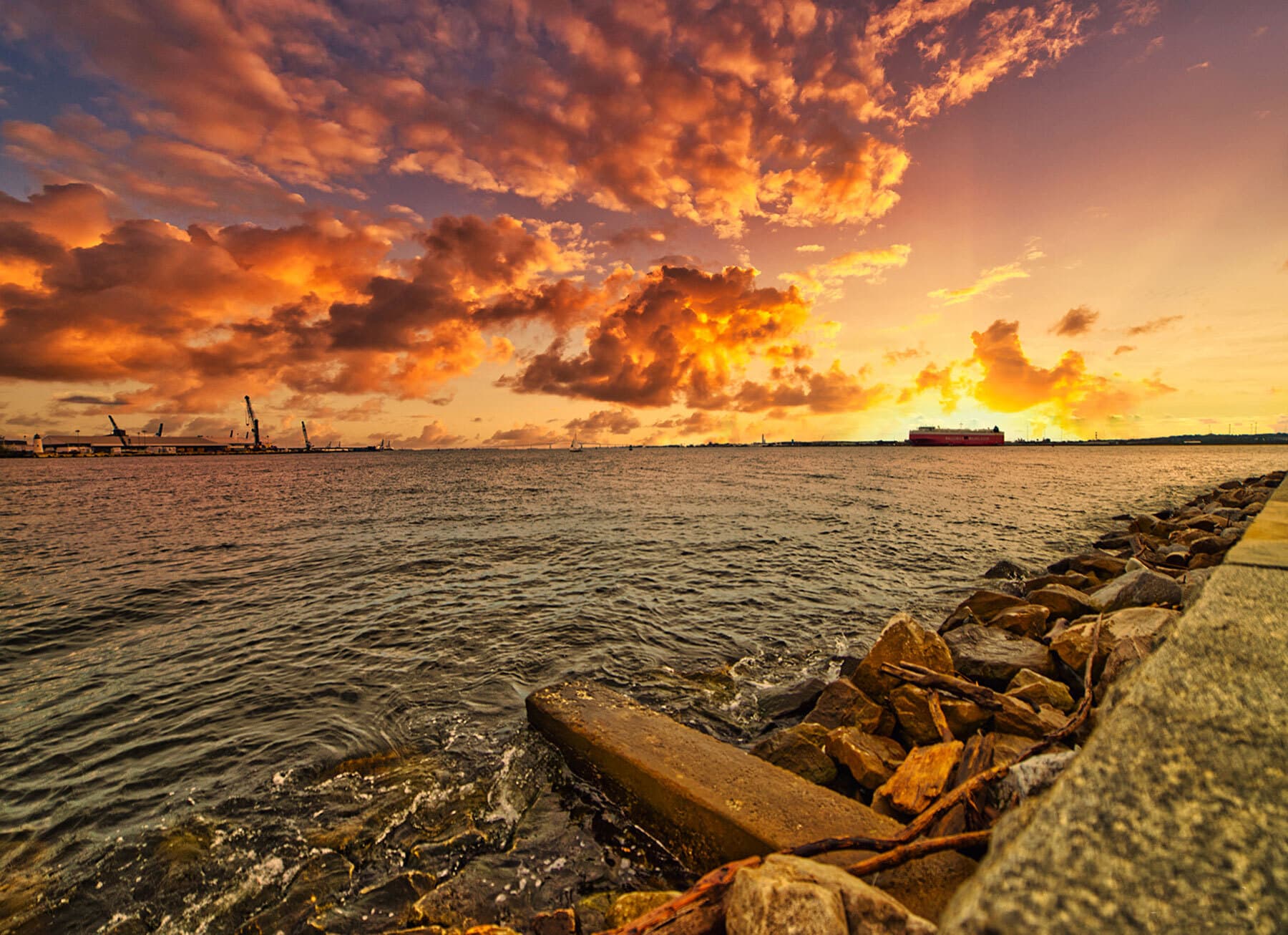
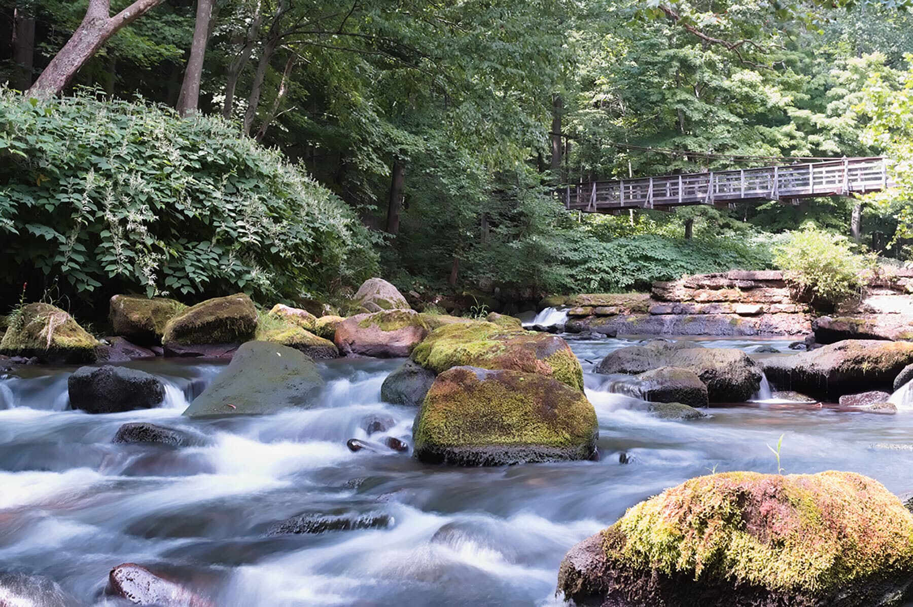
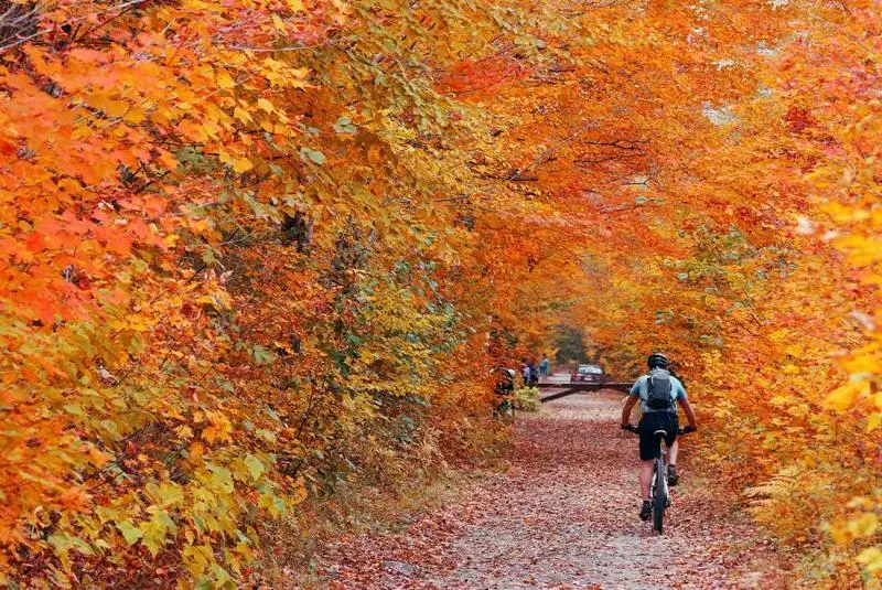
      Canaan Valley (locally ) is a large bathtub shaped upland valley in northeastern Tucker County, West Virginia, USA. Within it are extensive wetlands and the headwaters of the Blackwater River which spills out of the valley at Blackwater Falls. It is a well-known and partially undeveloped scenic attraction and tourist draw. Since 1994, almost 70% of the Valley has become the Canaan Valley National Wildlife Refuge, the nation's 500th National Wildlife Refuge, with Canaan Valley Resort State Park and Blackwater Falls State Park nearby. Canaan Valley was designated a National Natural Landmark in 1974. The National Park Service citation indicates that the Valley is "a splendid 'museum' of Pleistocene habitats ... contain[ing] ... an aggregation of these habitats seldom found in the eastern United States. It is unique as a northern boreal relict community at this latitude by virtue of its size, elevation and diversity."The local pronunciation of "Canaan" is , rather than the conventional for the Biblical region from which the area questionably takes its name. According to legend, this is the result of improper pronunciation by the person who named the valley.
      logoFind more things to do, itinerary ideas, updated news and events, and plan your perfect trip to Canaan Valley

      Canaan Valley Articles

      Places near Canaan Valley

      DESTINATION IN Maryland

      Garrett County

      Garrett County is the westernmost county of the U.S. state of Maryland. As of the 2010 census, the population was 30,097, making it the third-least populous county in Maryland. Its county seat is Oakland. The county was named for John Work Garrett (1820–1884), president of the Baltimore and Ohio Railroad. Created from Allegany County, Maryland in 1873, it was the last Maryland county to be formed. Garrett County has long been part of the media market of Pittsburgh, Pennsylvania. It is considered to be a part of Western Maryland. The Commonwealth of Pennsylvania is to the north. The Maryland–Pennsylvania boundary is commonly known as the Mason–Dixon line. The eastern border with Allegany County was defined by the Bauer Report, submitted to Governor Lloyd Lowndes, Jr. on November 9, 1898. The Potomac River and State of West Virginia lie to the south and west. Garrett County lies in the Allegheny Mountains, which here form the western flank of the Appalachian Mountain Range. Hoye-Crest, a summit along Backbone Mountain, is the highest point in Maryland. The Eastern Continental Divide runs along portions of Backbone Mountain. The western part of the county, drained by the Youghiogheny River, is the only part of Maryland within the Mississippi River drainage basin. All other parts of the county are in the Chesapeake Bay basin. The National Register of Historic Places listings in Garrett County, Maryland has 20 National Register of Historic Places properties and districts, including Casselman Bridge, National Road a National Historic Landmark. Garrett County is part of Maryland's 6th congressional district. The extreme south of the county lies within the United States National Radio Quiet Zone.